


- Home
- What to do?
- Routes
- Pico Llosorio
Pico Llosorio
- Hiking
- Mieres


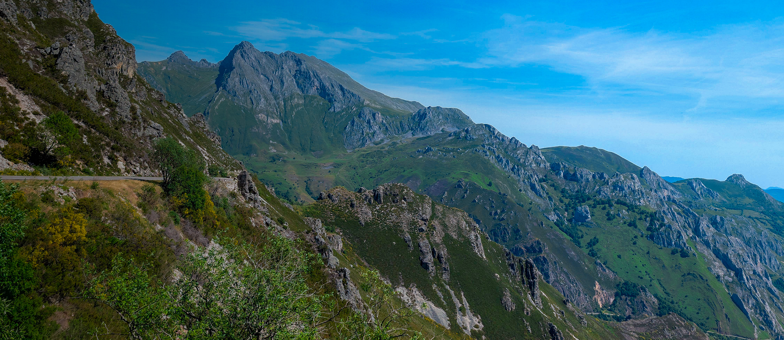
From the Pico Llosorio, Mieres is seen as a great valley open between mountains, mining memory, and traditional paths. A circular, panoramic, and very complete route to discover one of the most representative natural viewpoints of the council.
The Pico Llosorio Route, also known as Llosoriu Route P.R. AS-38, is one of the most emblematic hiking proposals in Mieres. Its path combines mid-mountain scenery, rural paths, wooded areas, old mining traces, and wide views over the Caudal valley. It is a perfect route for those looking for an accessible mountain experience, but with enough elevation gain and duration to feel fully immersed in the Mieres landscape.
The itinerary starts and ends in the Gonzalín industrial estate area, making it a circular route. It has an approximate distance of 14 kilometers and an estimated duration of 5 hours and 10 minutes. The positive and negative elevation gain is around 590 meters, with an approximate altitude between 220 and 720 meters. Due to these characteristics, the difficulty is considered medium: it is not an especially technical route, but it does require some physical fitness and the habit of walking for several hours.
From the start, the route progressively leaves the urban environment to enter paths and hillsides. This transition is one of the great attractions of the route, as it allows you to pass in a few minutes from the daily landscape of Mieres to a more rural and mountainous environment. The hiker begins to gain altitude little by little, while the views towards the valley widen and the environment becomes more open.
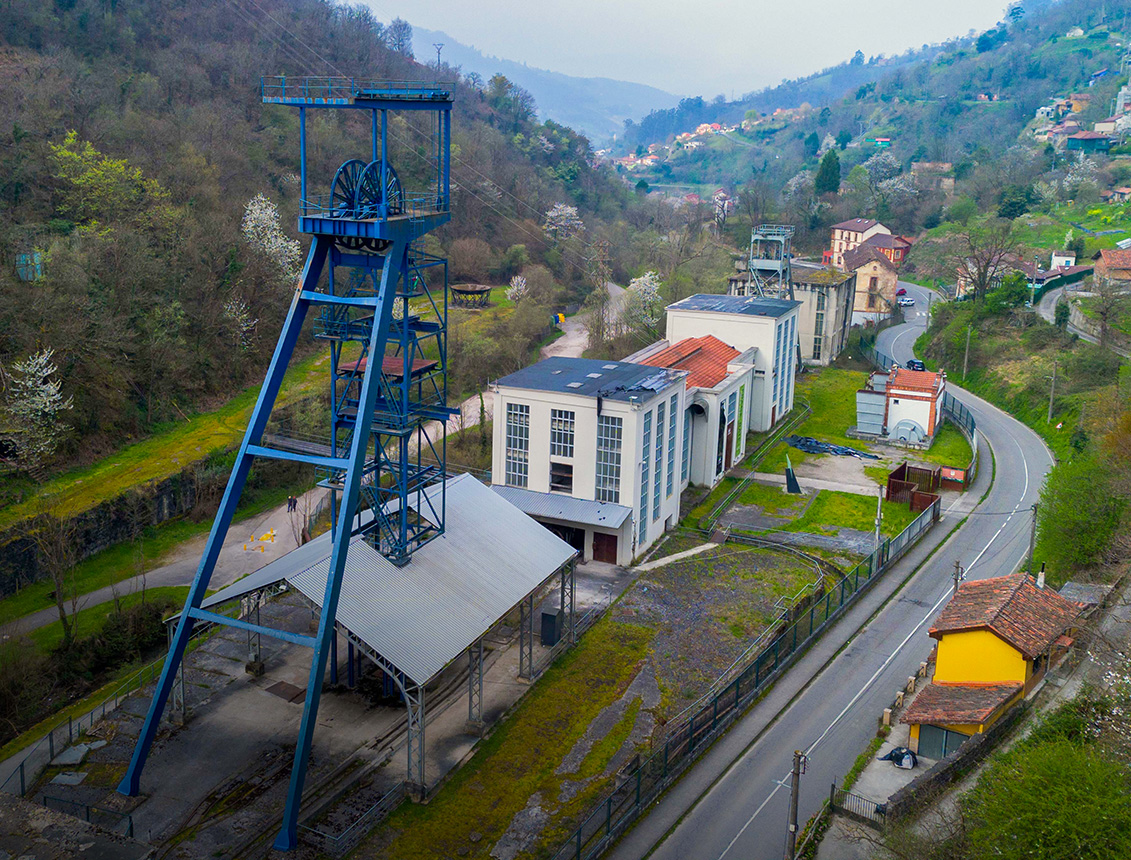
As you ascend, the path allows you to observe the relationship between Mieres, its neighborhoods, old industrial areas, and the mountains that surround the council. Llosorio is not just a summit, but a privileged viewpoint over a territory deeply marked by mining, communications, and valley life. From its slopes, it is better understood how the natural landscape and the industrial landscape have coexisted for decades in this part of Asturias.
One of the points that give personality to the route is passing through areas like Pandiella, a reference point of the official route. These stretches provide a more rural dimension to the itinerary, with traditional paths, meadows, trees, and small villages that retain the structure typical of the Asturian mid-mountain landscape. The route does not only seek to reach the summit, but to travel through a territory inhabited, worked, and transformed over time.
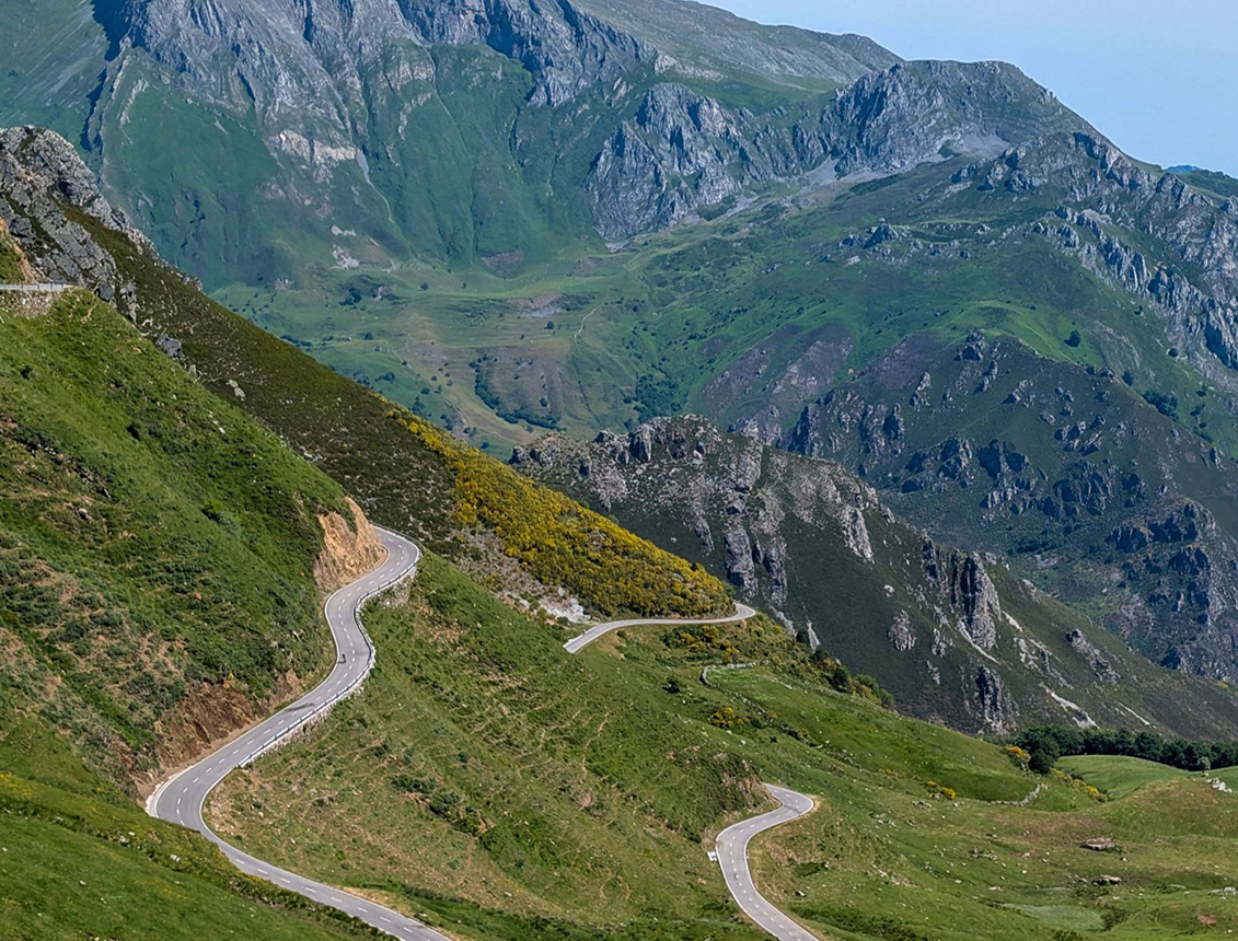
The ascent towards the area of Pico Llosorio allows you to enjoy a progressive opening of the landscape. Wooded stretches give way to more open areas, where the gaze reaches further and further. On clear days, from the high areas, you get very wide panoramas of the Caudal valley, nearby mountain ranges, and the set of mountains that frame the center of Asturias. It is one of those routes where the effort of the climb is rewarded gradually, not just when reaching the top.
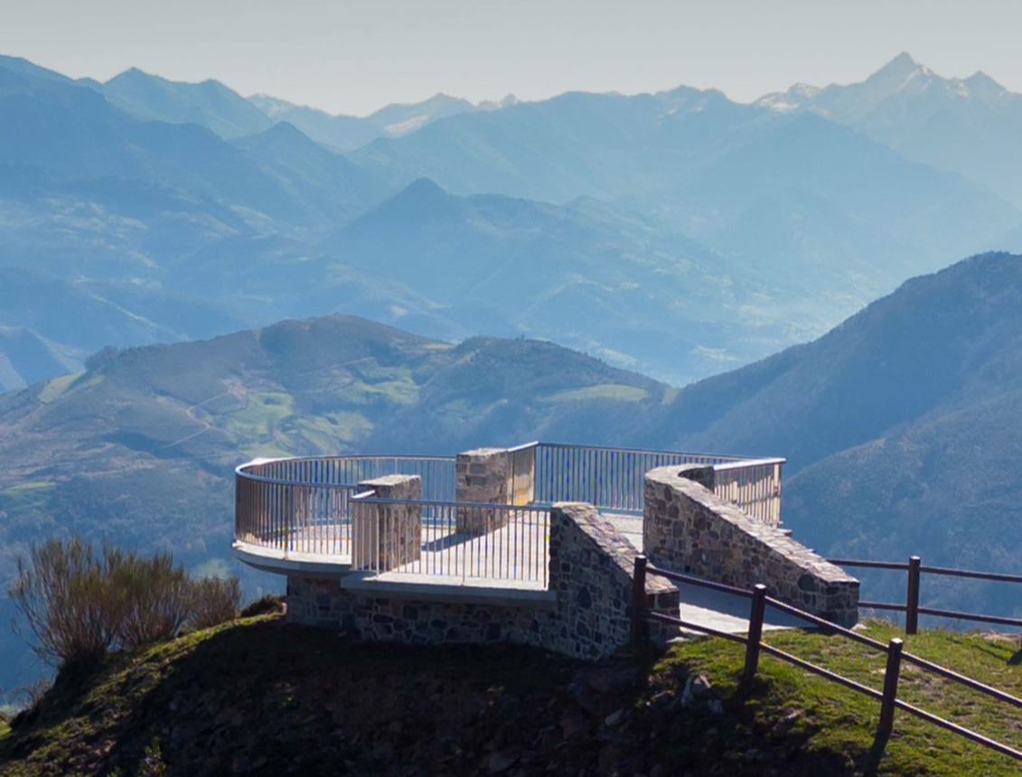
The summit and surroundings of Llosorio are the highlight of the route. From this area, the landscape unfolds in different directions, offering a complete reading of the Mieres council and its surroundings. You can see the lines of the valley, green hillsides, inhabited centers, industrial traces, and the mountain ridges that close the horizon. It is an ideal place to take a break, orient yourself, and enjoy the feeling of height without needing to reach extreme elevations.
In addition to its panoramic value, the route has a strong identity component. Llosorio is part of the mountaineering and landscape imagination of Mieres, and its route allows you to approach a landscape where nature mixes with mining memory. That combination is very characteristic of the council: green mountains that coexist with old operations, paths that were for work and that today are transformed into spaces for leisure, hiking, and discovery.
The descent completes the circular character of the itinerary, returning the walker to the starting point along a path that allows you to continue enjoying the landscape from another perspective. The descent should be done with attention, especially on slopes or uneven terrain, but it does not present great technical difficulties. The return allows you to appreciate again the proximity between mountain and valley, one of the hallmarks of Mieres.
The Pico Llosorio Route is ideal for hikers looking for a full day out, with manageable elevation gain, good views, and a strong connection with the territory. It is not a short or purely family-friendly route, but it is not a complex ascent either. Its balance between effort, landscape, and heritage content makes it a highly recommended option to discover the most mountainous Mieres.
Overall, Pico Llosorio offers a very complete experience: rural paths, progressive climb, valley panoramas, mining memory, and an accessible summit with generous views. It is a route that allows you to understand Mieres from above, observing how the natural landscape, the industrial past, and the villages of the council are part of the same history. A perfect proposal for those who want to walk, look far, and discover one of the most interesting natural balconies in the center of Asturias.
Información de interés
- Distance: 14.00km
- Positive elevation: 590m
- Negative elevation: 590m
- Maximum altitude: 720m
- Minimum altitude: 220m
- Time: 5 horas 10 minutos
Rutas relacionadas
 4.0h
4.0h High
High