


- Home
- What to do?
- Routes
- Vía Romana de la Carisa
Vía Romana de la Carisa
- Hiking
- Aller
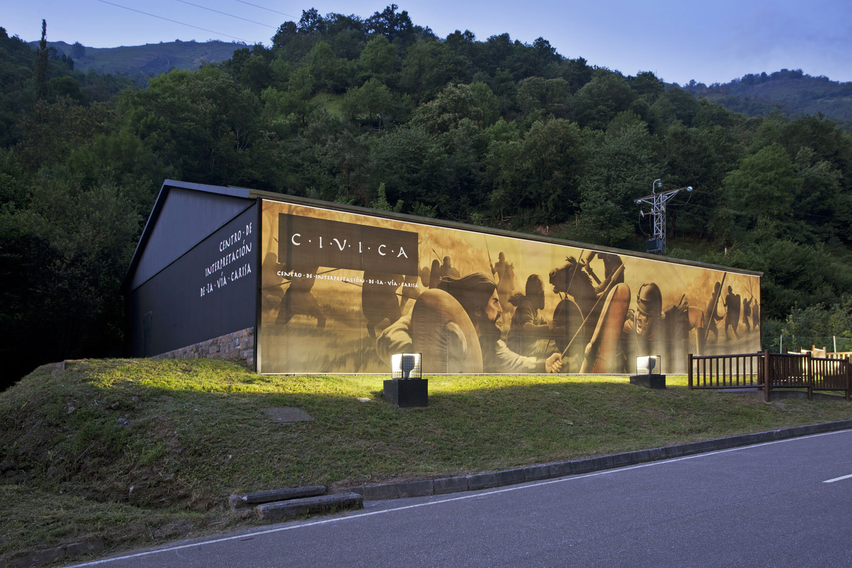
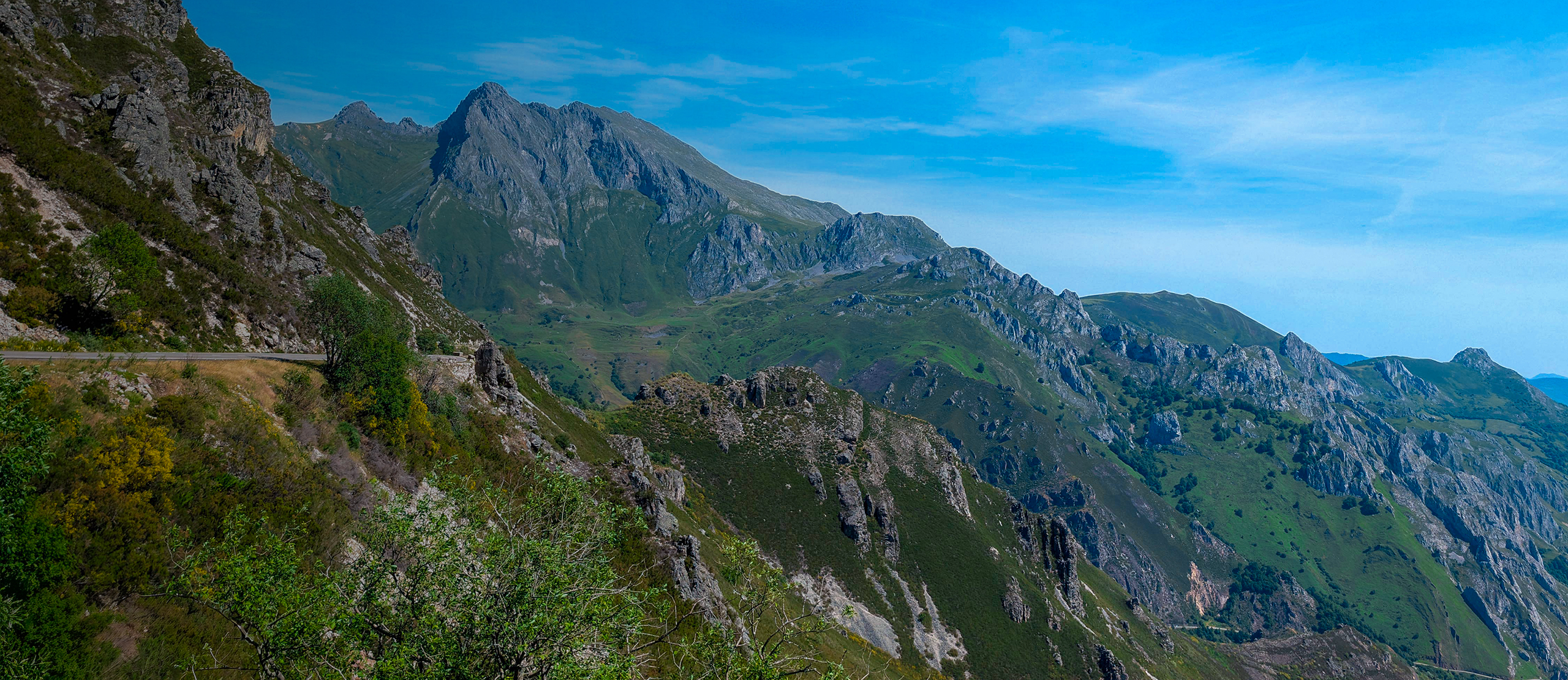
Between Aller and Lena, the Vía Romana de la Carisa runs along one of the great historical corridors of the central Asturian mountain. A linear, long, and demanding route, where the ridge landscape blends with Roman memory, mountain passes, and grand panoramic views.
The Vía Romana de la Carisa is one of the most important historical itineraries in Asturias. Its layout is linked to the ancient communication between the Meseta and the Asturian interior, crossing mountain areas that for centuries functioned as a natural pass. More than a hiking route, it is a journey through the history of the landscape where archaeology and geography unite.
The itinerary, which connects Pendilla de Arbas and Carabanzo, is a linear route of approximately 30.19 kilometers. With a positive elevation gain of 523 meters and a very sharp negative elevation gain of 1,665 meters, the altitude ranges between 475 and 1,694 meters, which demands a good physical condition as it is a high-mountain crossing.
Unlike local paths, La Carisa is a long trek. Its difficulty is considered high, both due to the distance and the elevation gain, as well as the exposure to changing weather conditions on the ridge. It is a route to be undertaken with experience and prior planning.
The route advances through the surroundings of the Carraceo ridge, offering privileged views. Historically, this pass was vital for controlling access between León and Asturias, functioning not as a barrier, but as an elevated and strategic path that was already used more than two thousand years ago for the movement of troops.
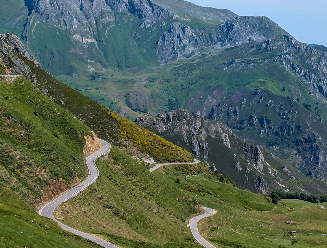
Throughout the route, the landscape is dominated by open spaces, pastures, and cols. The hiker progresses through a territory where the scale of the landscape is the main protagonist: long ridges and summits that follow one another on the horizon. This intermediate position between councils makes the route a historical axis that has structured the relationship between Asturias and the Meseta.
Due to the significant and prolonged descent, it is essential to manage physical effort well. The end in Carabanzo marks a transition towards more humanized landscapes, closing a very enriching contrast between the historical ridge and the valley.
The Vía Romana de la Carisa is an ideal proposal for experienced hikers. Its appeal lies in the combination of Roman history, grand panoramic views, and the feeling of walking along an ancient corridor that forms part of the essence of the Asturian territory.
Información de interés
- Distance: 30.19km
- Positive elevation: 523m
- Negative elevation: 1664m
- Maximum altitude: 1694m
- Minimum altitude: 475m
- Time: 4 horas
Rutas relacionadas

 3.5h
3.5h Low
Low